Guest Blog: The River Ribble
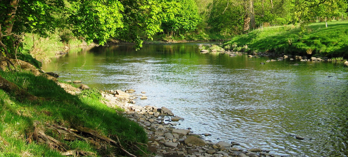
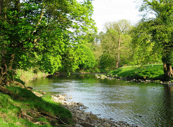
Running through the heart of Lancashire, the River Ribble begins its journey in the heart of the Yorkshire Dales. The 75 mile stretch of river navigates a variety of terrains and changing landscapes as it flows downstream through open countryside and the market towns of Settle, Clitheroe and Ribchester before reaching the city of Preston.
Like most of our river networks it is not without challenge and just over three years ago it joined Salmon & Trout Conservation’s SmartRivers project.
In an interview with Alan Davies and David Calvert, from Bowland Game-Fishing Association, we explore the Ribble and how they hope SmartRivers data will strengthen their conservation and habitat improvement efforts.
Tell us about the River Ribble?
With a south westerly flow heading towards the Irish Sea, the Ribble has two major tributaries the Hodder and the Calder. Geographically, the river system has been subject to the pressures of industry and agriculture for many years. It has also seen significant transformation of landscape alongside mounting environmental pressures.
A major game fishing river, we have enjoyed fishing various stretches since the club’s origins in 1853. It is a good fishing river and enjoys many stretches of unspoilt countryside.
What attracted you to SmartRivers?
We have a long association with river monitoring and our members recognise the importance of both river management and habitat improvement to conserve the Ribble and Hodder. We have recently appointed a habitat sub-committee to help address growing pressures and in 2015 we stopped stocking the river, another driver to habitat improvement.
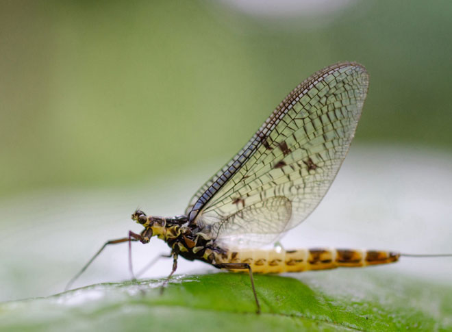
We have been increasingly concerned about the reduced fly life along some of the northern stretches of our river for a number of years and getting involved with SmartRivers was a logical step to address this.
Before we got involved with SmartRivers we didn’t really have a handle on how healthy the river was. The data we have gathered over the last three years will form the benchmark to identify priorities and pinpoint where effort needs to be concentrated.
Like many rivers in the UK, the Ribble faces external pressures that threaten its conservation and habitat. How do you think the river is faring and what are the main priorities you have identified?
River monitoring has allowed us to identify areas of the river that are less healthy, largely due to pollution, which is unsurprising given the nearby agricultural landscape. Bank erosion is also high up the agenda and we have a number of bank restoration projects in progress to reverse the impacts including fencing and willow spiling.
Our efforts are currently focused on three main areas of work: benchmarking to gather comparable data on water quality, fencing off to prevent bank erosion and in river works at sites identified as less healthy.
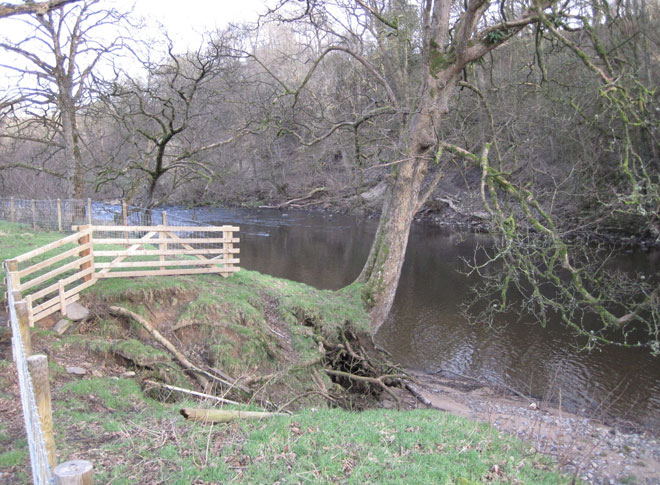
Fencing works on the River Hodder.
How has SmartRivers data supported river management?
SmartRivers has given us information on invertebrate populations to support conservation works. From initial data capture we were pleased to find that, while not as good as they could be, the populations of invertebrate along the Ribble are adequate to support fish populations – but far from perfect.
As a SmartRivers hub we sample various sites along the river and have been fortunate to collect data from an additional site, on a different beat of the river, that has been fenced for over 20 years. This data has allowed us to make a comparison between fenced and non-fenced beats and identified a greater abundance of invertebrates in the fenced area.
The data has also allowed us to identify three beats along the Ribble that are showing clear signs of stress. Highlighting areas of concern, like Giffords Pool at Long Preston which has suspected sewage outlets causing stress from urban pollution, and enabling us to target in-river works to combat these pressures.
SmartRivers has also helped in raising awareness throughout the river system. There are a number of groups active on the river system including the Ribble Rivers Trust, the Hodder Consultative Group and the Ribble Fisheries Consultative who we are sharing our findings with. This information exchange helps to further grow the understanding of issues facing the river.
The greatest benefit of being a SmartRivers hub?
Through the SmartRivers programme we have now collected three years of data. For us, the greatest benefit of which will be when we see the accumulation and synergy of all the SmartRiver metrics. This should allow us a to draw a summary of the causes impacting the river and their effect. It is this data that will allow us to target our river management work.
It goes without saying that SmartRivers has raised our awareness of invertebrate importance and the power of their data to determine river pressures.
We have also seen a benefit to the wider catchment in terms of citizen science. Helping to raise awareness of the need to improve and conserve water quality in order to support healthy populations of wild fish. On a bigger scale, the SmartRivers data begins to highlight the fundamental problems we have across our river systems.
Finally, do you have a favourite stretch of the river, and why?
David Calvert: “The middle reaches of the River Hodder, fondly referred to as ‘the queen of rivers’, is one of my favourite spots. A limestone gorge running through dramatic upland landscape it offers a secluded and picturesque place to enjoy the river and perhaps some of the best wildlife the UK has to offer. It defines what river fishing is all about.”
Alan Davies: “I am particularly fond of the upper length of the River Hodder. During late May/ early June when the river is running low it offers some of the best trout fishing alongside a good head of grayling for the winter months. It also, as proved last year when I hooked a large sea trout on dry fly, is a river from which you really don’t know what you might catch. It could be summed up as millionaire’s fishing, seclusion and beautiful scenery far from traffic noise or light pollution of our cities – a real hidden gem.”
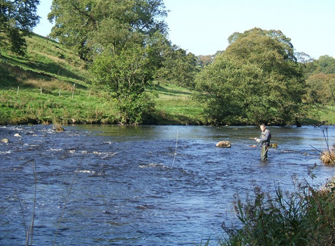
The River Ribble.

